4117m2 in Bobota commune, Sălaj county
Industry
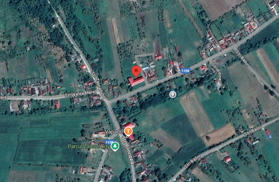
The former general school building in Zalnoc, located on a 4,117 m² plot, is available for lease or concession. The property has functional electrical and sanitary installations, wood-based heating, and is accessible via DJ110B with direct access to DN1F. Public utility networks are being expanded in the area.
General
GPS Coordinates
https://maps.app.goo.gl/3uo94cfhNesiLmYS7
County
Sălaj
Territorial and Administrative Division
Bobota Commune
Property availability
Available
Legal Owner
Bobota Commune
Proposed Contract Type
Lease/Concession
Prior and Current Legal Disputes
None
Method of taking possession
Auction
Property Details
Land area (m²)
4117
Land Type
urban, courtyards-constructions
Current destination
No destination
Land Registry Number
Not tabulated
Land Shape
Rectangular
Neighboring Properties
DJ 110B, housing
Buildings
Building footprint (m²): 962; Built-up area (m²): 962; Building type: Primary school; Land Book Number: MO - Inventory of the commune's assets Annex no. 12l Building status (structure, walls, floors, ceilings, etc.): Functional; Status of installations (electric, sanitary, gas, etc.): Electrical and sanitary installations, wood heating
Utilities
Electrical Voltage
220
Maximum Electrical Capacity
220
Position in Relation to the Nearest Electricity Source
20
Type of Main Electricity Source
National network
Maximum Gas Pressure (Nm³/h)
Not applicable
Position in Relation to the Nearest Gas Source
Not applicable
Water flow rate (l/s or m³/h)
Nonexistent
Position in Relation to the Nearest Potable Water Source
Own network, the public network is not functional
Wastewater Disposal (m³/h)
own septic tank
Position in Relation to the Sewerage Network
Not applicable/ The investment is included in the project Water and sewerage extension
Type and Strength of GSM Signal (1-5G)
2G
Type and Speed of Internet (Fiber Optic, Cable, Mbps)
Not applicable
Large Infrastructure
Position in Relation to Major Cities or Municipalities (km)
34 km Simleu Silvaniei, 39 km Zalău
Position in Relation to Nearest European Roads (km)
0.002km - DJ110B
Position in Relation to Nearest Highway (km)
30 km - A3
Position in Relation to Nearest Border Crossings (km)
72 km- Petea Border Crossing Point
Position in Relation to Nearest Seaports (km)
724km- Constanța Harbor
Position in Relation to Nearest International Airports (km)
52 km- Satu Mare International Airport
Position relative to the nearest passenger and/or freight railway station (km)
3 km/9 km
Accessibility
Accessibility by Public Transportation
daily, bus/minibus CENTO TRANS
Accessibility for Large Trucks
yes
Access Restrictions
no
Road access
DN 1F- 0,005 km, DJ110B- 0.005 km
Development Regulations
Existing construction permits or the possibility of obtaining such permits
Not the case
Built Area, Height or Structural Restrictions
Not the case
Subterranean, Overhead, or Airspace Obstructions
Not the case
Environmental Restrictions
Not the case
Investment Opportunity
What are the advantages and benefits offered to the investor?
Access to DN 1F and DJ 110B respectively
Future plans: Establishment of natural gas networks, Extension of water and sewerage network